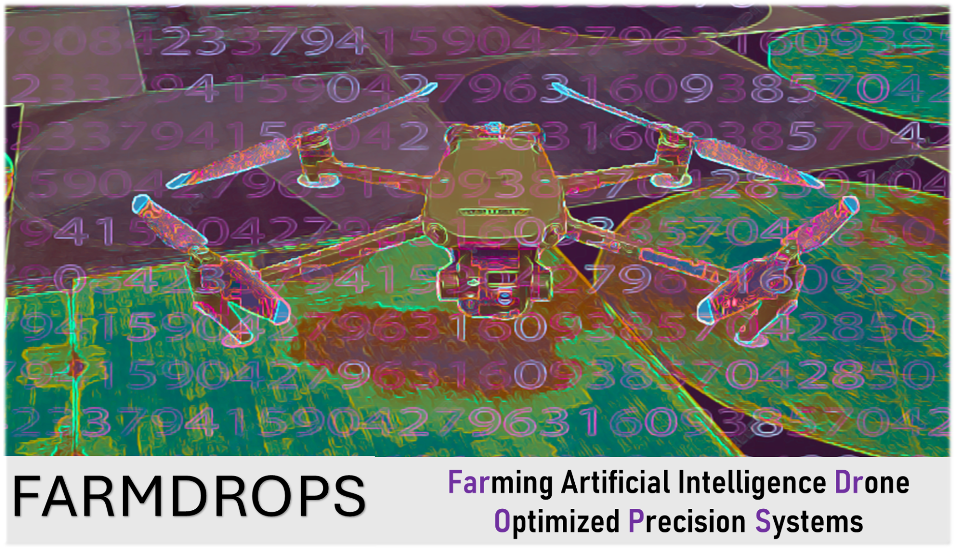
Innovation lump sum: FARMDROPS

Project Partner: SMASP AGILE SL
Country: Spain
Industrial ecosystem: Agrifood
Summary:
Focus and methodology: FARMDROPS is on a mission to tackle one of the most critical challenges in agriculture: water optimisation.
Did you know that 70% of the world's freshwater is used for agriculture?
FARMDROPS analyses detailed imagery captured by multispectral cameras on drones, enabling farmers to fly these drones over their crops and generate comprehensive water management reports. The system can see if there is not enough or too much water and gives advice on how to share water better.
Technical innovation: Our breakthrough lies in overcoming a fundamental limitation: commercial drones typically capture only visible and near-infrared bands, while critical vegetation indices like NDMI (Normalized Difference Moisture Index) require short-wave infrared data that satellites traditionally provide. FARMDROPS uses AI to predict these essential moisture indices from drone-captured data, thereby democratising access to satellite-level analysis.
FARMDROPS calculates three key vegetation indices: NDVI (plant vitality), NDWI (humidity analysis) and NDMI (water absorption). Through machine learning algorithms trained on pixel-level satellite and drone data, FARMDROPS generates precise moisture maps overlaid on original images, indicating optimal irrigation zones.
Main results: FARMDROPS achieved 98.7% accuracy in moisture predictions, validated across diverse crop types and geographical areas. This breakthrough makes advanced precision agriculture accessible to farmers of all sizes, transforming traditional reactive water management into a more predictive approach.
Impact: By enabling precise water management through affordable drone technology, FARMDROPS contributes to sustainable agriculture.
| Attachment | Size |
|---|---|
| Project #61_2.pdf | 1.19 MB |